


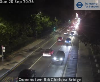
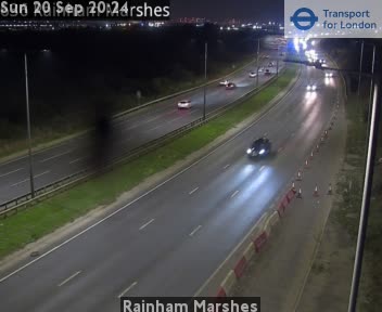

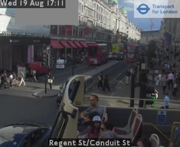


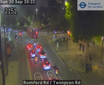
Road and traffic · Roehampton Vale/Stag Lane, London · Stag Lane underpass south side

Camera details
- Provider
- OpenHighways
- Operator
- Transport for London
- Last check
- 2026-11-16 · Image modified on check day
- Image check
- Image modified within 24h · 2026-11-16T16:52:48Z
- Image last modified at check
- 2026-11-16T16:46:27Z
- Map pin
- Camera network map · 51.438800, -0.248650