


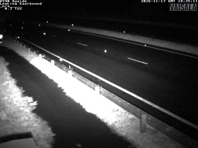
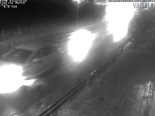
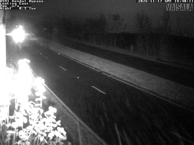
Road weather
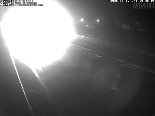
Camera details
- Provider
- Cumberland Council
- Last check
- 2026-11-16 · Image modified on check day
- Image check
- Image modified within 24h · 2026-11-16T16:57:31Z
- Image last modified at check
- 2026-11-16T16:35:11Z
- Map pin
- Approximate pin · Approximate locality centre (GeoNames: Meathop) · 54.219000, -2.864000